TModeling
Start of topic | Skip to actions
DARPA Geospatial Representation and Analysis (GEO) Program Review
April 11, 2006
The Salish Lodge & Spa
6501 Railroad Avenue SE
Snoqualmie, WA USA
to top
Presentation:
Jack, Charles, and Chris teamed up to present progress. According to Jack, they gave a "3 point sermon":- Mathematical advances and prototype implementations show that we can achieve target compression rates for irregular data in application contexts.
- Streaming geometry processing handles huge scattered data sets seamlessly & efficiently
- Visual tools can help compare the quality of representations
- geo-snoeyink-sm.ppt: slides presented before the demos
Evaluation:
I think we presented ourselves very well. The three speakers represented a clear, coherent picture of the project, and we had demos on real data (Live display of 1GB TIN and of error evaluations.) One of my aims was to stir up the NGA folks to help us identify where the new capability of processing large scattered data sets in low memory would be useful in their current work, so that we would get some guidance on how we should prioritize the various things that we can do. I'm a little concerned about NGA's capability to take in new research results in GIS representations. This is important to the long-term collaboration between DARPA and NGA.More Data:
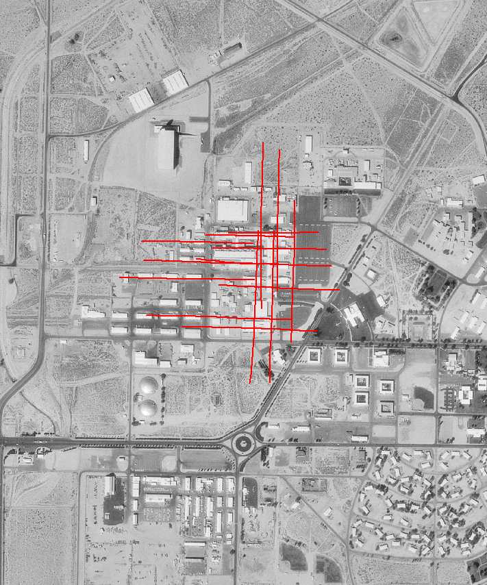
Alan Van Nevel, from Navair/China Lake, brought another drive with movies that I copied. Below is one image showing the area of Group10 movies. I also went to the puget sound regional council and loaded up on all their bare earth lidar, and several quads of all-returns. More description at LidarPugetSound when I get time. I estimate about 50GB of bare earth and about the same of all returns. (I should have asked for more, because I brought two 160GB drives and only filled one, and they also put all the e00 rasters on, which I didn't need.) -- JackSnoeyink - 13 Apr- flight lines of data from group10 videos:
to top
I  | Attachment  | Action | Size | Date | Who | Comment |
|---|---|---|---|---|---|---|
| | geo-snoeyink-sm.ppt | manage | 6032.0 K | 14 Apr 2006 - 15:13 | JackSnoeyink | slides presented before the demos |
| | Group10a.jpg | manage | 102.7 K | 14 Apr 2006 - 15:25 | JackSnoeyink | flight lines of data from group10 videos |
Edit | Attach image or document | Printable version | Raw text | More topic actions
Revisions: | r1.5 | > | r1.4 | > | r1.3 | Total page history | Backlinks
Revisions: | r1.5 | > | r1.4 | > | r1.3 | Total page history | Backlinks